RUSSIAN JOURNAL OF EARTH SCIENCES, VOL. 16, ES6004, doi:10.2205/2016ES000587, 2016
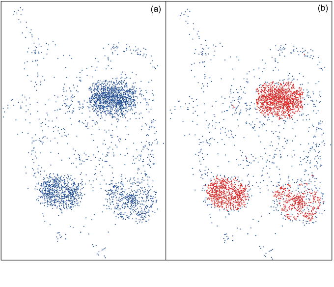
Figure 4. "Monolith" geoprocessing tool testing on a synthetic point layer: a) initial layer (blue dots); b) results of clustering (red dots) obtained with free parameters $\alpha = 0.5$ and $\omega = -3$ and superimposed on the initial data.

![]()
Citation: Soloviev A. A., J. I. Zharkikh, R. I. Krasnoperov, B. P. Nikolov, S. M. Agayan (2016), GIS-oriented solutions for advanced clustering analysis of geoscience data using ArcGIS platform, Russ. J. Earth Sci., 16, ES6004, doi:10.2205/2016ES000587.
Copyright 2016 by the Geophysical Center RAS.
Generated from LaTeX source by ELXpaper, v.1.5 software package.